
Delaware State Strategies

State Strategies Document & Maps
Explore the information below to view the final document and maps.
Explore the Strategies StoryMap
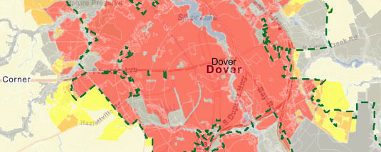
Curious about the data behind the Strategies? Learn the full story by clicking below to interact with the StoryMap. Explore where the data comes from, how it's used, why it's used, and how it all comes together to identify State Strategies Levels 1–4 and Out of Play.
Public Workshops & Comment Review
The 2025 Strategies for State Policies and Spending (State Strategies) were released by the Cabinet Committee on State Planning Issues (CCSPI) for public review on September 10, 2025. During the 30-day comment period, the Office of State Planning Coordination (OSPC) hosted 3 workshops and received over 80 comments.
On behalf of the CCSPI, OSPC has prepared this document to categorize, summarize, and respond to all comments on the draft State Strategies document and maps.
Comments Received & OSPC Responses
The recordings below provide context on the public review process. The public workshop video summarizes comments received during the public comment period, while the Cabinet Committee on State Planning Issues slides presents the latest progress update, including how the Office of State Planning Coordination responded to public comments and the inclusion of two additional maps highlighting ecological lands of significance and key planning areas.
The Cabinet Committee on State Planning Issues Data Analysis Workgroup also played a part in the preparation for State Strategies.
What are State Strategies?
The State Strategies provide policy guidance for state activities and serve as a framework for coordinating the plans and actions of local governments. The importance of such coordination lies in the fact that land-use decisions are made at the local level, while the bulk of infrastructure and services that support land-use decisions are funded by the state. Learn more about the Strategies in our video.
What are Investment Levels?
The map series identifies areas of the state as “Investment Levels.” These investment levels range from urban (Level 1) to rural (Level 4) areas. It also includes areas considered Out-of-Play. State agencies have different policies and priorities for each Investment Level. Learn more about these levels in our video.
How are the Maps Made?
The maps aren't the States opinion on growth, they are data driven. Over 35 data-sets are collected for a wide variety of factors throughout the State. There are two main classifications: Areas favoring Growth and Areas favoring Preservation. Learn more about how the maps are made in our video.
Why do we have State Strategies?
The Strategies for State Policies and Spending are the way the State coordinates with local land use. This document and it's associated maps summarize and guide the State's land use goals, policies and strategies. Delaware Code requires the State Strategies be updated every five years. Learn more about the legal requirements in our video.
For additional information about State Strategies, contact the State Strategies Team.